Produced in partnership.
This third edition of the Oakland Shop, Dine & Explore Guide is produced by Oakland Transportation Management Association and the Oakland Business Improvement District with support from the Pittsburgh Innovation District — each committed to ensuring that Oakland remains a vibrant, mobile, and connected district for everyone who lives, works, learns, or visits here.
Strengthening the commercial district.
The Oakland Business Improvement District (OBID) works to strengthen the Central Oakland commercial district — the region's second-largest employment center and a hub for education, healthcare, research, and culture. Serving more than 200 property owners, businesses, institutions, and community partners, OBID advocates for and supports economic vitality through place management, public realm enhancements, marketing, and events.
By fostering business growth, enhancing public spaces, and improving the experience for all who live, work, study, visit, and invest here, OBID helps to strengthen Oakland's position as Pennsylvania's global center and a national model for vibrant, innovative urban districts.
Safer, more mobile, better connected.
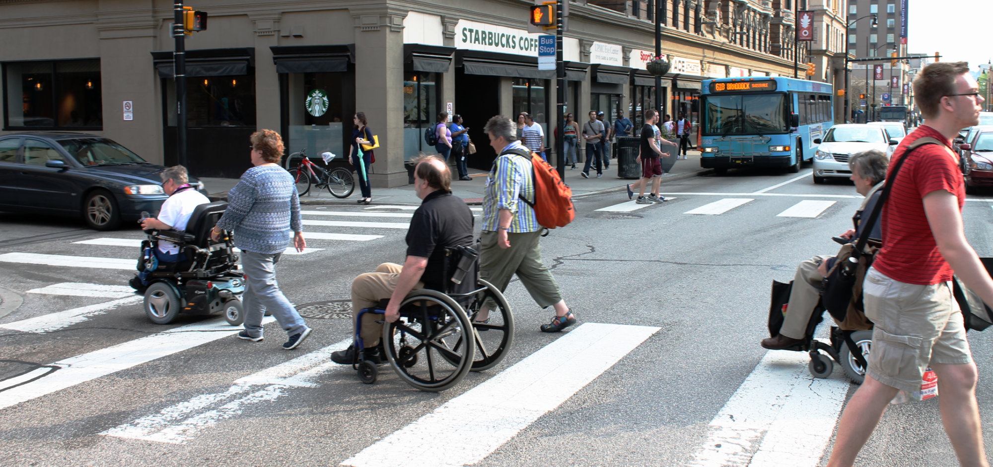
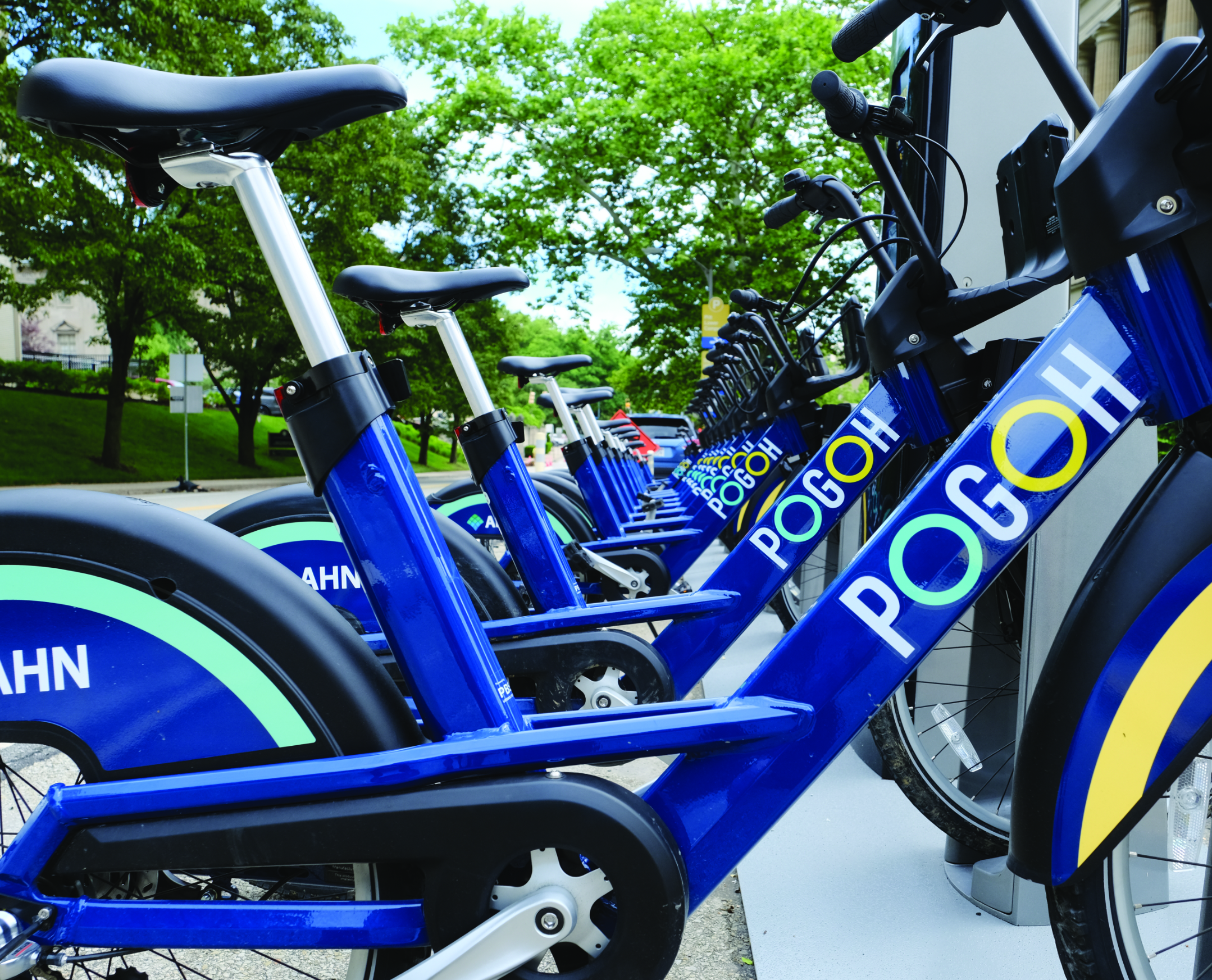
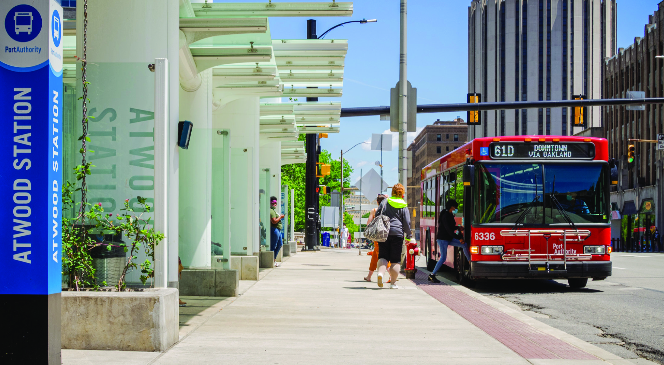
Oakland Transportation Management Association (OTMA) is a 501(c)(3) non-profit organization working to make Oakland safer, more mobile, and better connected for all who travel here. Serving residents, commuters, students, visitors, employers, and community stakeholders, OTMA advocates for and supports multimodal transportation choices that reduce single-occupancy vehicle use — from public transit and shared vehicles to walking and bicycling.
By promoting alternative transportation modes, sharing congestion mitigation resources, offering parking management tools, and working to improve mobility access for all across Oakland's busy streets, OTMA helps to ease congestion, enhance air quality, and improve the quality of life in Pittsburgh's vibrant urban core.
A sustainable innovation ecosystem.
As the region's innovation epicenter and premier source of talent and research, the Pittsburgh Innovation District (PID) embodies the city's tradition of entrepreneurial spirit and inventive grit by uniting Oakland's critical mass of talent, university resources, and cultural assets with the vital support, amenities, capital, and transformative technology that empower innovators to thrive.
Through historic collaboration and direct proximity to anchor institutions like Carnegie Mellon University, University of Pittsburgh, Carlow University, and UPMC, PID is harnessing the area's scientific and technical strengths to create a dynamic ecosystem primed for development and investment opportunities, and committed to fostering an inclusive innovation community for all.